Marshall County (West Virginia)
| County in de Verenigde Staten | |||
|---|---|---|---|
 | |||
| Situering | |||
| Staat | West Virginia | ||
| Tijdzone | Eastern Standard Time (UTC−5) | ||
| Coördinaten | 39°52'12"NB, 80°40'12"WL | ||
| Algemeen | |||
| Oppervlakte | 808 km² | ||
| - land | 795 km² | ||
| - water | 13 km² | ||
| Inwoners (2000) |
35.519 (45 inw./km²) | ||
| Overig | |||
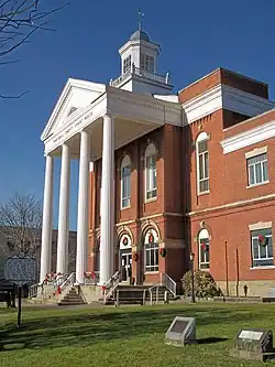
| Zetel | Moundsville | ||
| FIPS-code | 54051 | ||
| Opgericht | 1835 | ||
| Website | www | ||
| Foto('s) | |||
 | |||
 Bevolkingspiramide Marshall County | |||
| Statistieken volkstelling Marshall County | |||
| |||
Marshall County is een van de 55 county's in de Amerikaanse staat West Virginia.
De county heeft een landoppervlakte van 795 km² en telt 35.519 inwoners (volkstelling 2000). De hoofdplaats is Moundsville.
Bevolkingsontwikkeling
| Jaar | Inwoners | % ± | |
|---|---|---|---|
| 1900 | 26.444 | — | |
| 1910 | 32.388 | 22,5% | |
| 1920 | 33.681 | 4,0% | |
| 1930 | 39.831 | 18,3% | |
| 1940 | 40.189 | 0,9% | |
| 1950 | 36.893 | −8,2% | |
| 1960 | 38.041 | 3,1% | |
| 1970 | 37.598 | −1,2% | |
| 1980 | 41.608 | 10,7% | |
| 1990 | 37.356 | −10,2% | |
| 2000 | 35.519 | −4,9% | |
| Bron: (en) Historical Decennial Census Population | |||