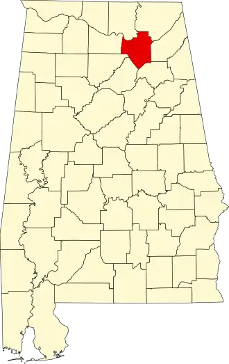
Marshall County (Alabama)
| County in de Verenigde Staten | |||
|---|---|---|---|
 | |||
| Situering | |||
| Staat | Alabama | ||
| Coördinaten | 34°22'5"NB, 86°18'14"WL | ||
| Algemeen | |||
| Oppervlakte | 1.614 km² | ||
| - land | 1.469 km² | ||
| - water | 145 km² | ||
| Inwoners (2000) |
82.231 (56 inw./km²) | ||
| Overig | |||
| Zetel | Guntersville | ||
| FIPS-code | 01095 | ||
| Opgericht | 1836 | ||
| Website | www | ||
| Foto('s) | |||
 | |||
 Bevolkingspiramide Marshall County | |||
| Statistieken volkstelling Marshall County | |||
| |||
Marshall County is een county in de Amerikaanse staat Alabama.
De county heeft een landoppervlakte van 1.469 km² en telt 82.231 inwoners (volkstelling 2000). De hoofdplaats is Guntersville.
Bevolkingsontwikkeling
| Jaar | Inwoners | % ± | |
|---|---|---|---|
| 1900 | 23.289 | — | |
| 1910 | 28.553 | 22,6% | |
| 1920 | 32.669 | 14,4% | |
| 1930 | 39.802 | 21,8% | |
| 1940 | 42.395 | 6,5% | |
| 1950 | 45.090 | 6,4% | |
| 1960 | 48.018 | 6,5% | |
| 1970 | 54.211 | 12,9% | |
| 1980 | 65.622 | 21,0% | |
| 1990 | 70.832 | 7,9% | |
| 2000 | 82.231 | 16,1% | |
| Bron: (en) Historical Decennial Census Population | |||