London Colney
| Civil parish in Engeland | |||
|---|---|---|---|
 | |||
| Situering | |||
| Regio | East of England | ||
| Graafschap | Hertfordshire | ||
| District | St Albans | ||
| Coördinaten | 51° 44' NB, 0° 18' WL | ||
| Algemeen | |||
| Oppervlakte | 5,1298 km² | ||
| Inwoners (2011) |
9507 (1853 inw./km²) | ||
| Overig | |||
| Postcode(s) | AL2 | ||
| Netnummer(s) | 01727 | ||
| Grid code | TL175045 | ||
| Post town | ST ALBANS | ||
| ONS-code | E04004805 | ||
| Foto('s) | |||
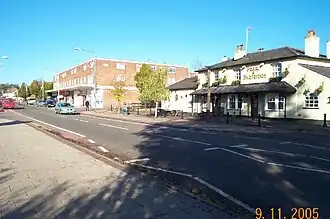 | |||
| Hoogstraat | |||
| |||
London Colney is een civil parish in het bestuurlijke gebied St Albans, in het Engelse graafschap Hertfordshire. De plaats telt 9507 inwoners.
 The Hull, London Colney
 Brug over de Colne in London Colney
Bronnen, noten en/of referenties
Geplaatst op:
15-07-2007
15-07-2007
Dit is een beginnetje over landen & volken. U wordt uitgenodigd om op bewerken te klikken om uw kennis aan dit artikel toe te voegen.