Les Vigneaux
| Gemeente in Frankrijk | |||
|---|---|---|---|
 | |||
| Situering | |||
| Regio | Provence-Alpes-Côte d'Azur | ||
| Departement | Hautes-Alpes (05) | ||
| Arrondissement | Briançon | ||
| Kanton | L'Argentière-la-Bessée | ||
| Coördinaten | 44° 49′ NB, 6° 32′ OL | ||
| Algemeen | |||
| Oppervlakte | 15,99 km² | ||
| Inwoners (1 januari 2023) |
510[1] (32 inw./km²) | ||
| Hoogte | 978 - 2800 m | ||
| Overig | |||
| Postcode | 05120 | ||
| INSEE-code | 05180 | ||
| Website | Officiële website | ||
| Detailkaart | |||
 | |||
| Foto's | |||
 | |||
| Gemeentehuis en school | |||
| |||
Les Vigneaux is een gemeente in het Franse departement Hautes-Alpes (regio Provence-Alpes-Côte d'Azur) en telt 390 inwoners (1999). De plaats maakt deel uit van het arrondissement Briançon.
Geografie
De oppervlakte van Les Vigneaux bedraagt 15,7 km², de bevolkingsdichtheid is 24,8 inwoners per km². Les Vigneaux ligt aan de Gyronde.
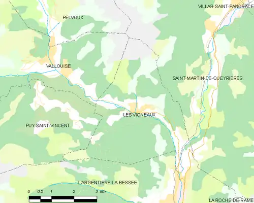
De onderstaande kaart toont de ligging van Les Vigneaux met de belangrijkste infrastructuur en aangrenzende gemeenten.
Demografie
Onderstaande figuur toont het verloop van het inwonertal (bron: INSEE-tellingen).

Externe links
- (fr) Statistische informatie op de website van het Franse bureau voor statistiek INSEE
- ↑ Populations de référence 2023.