Kati (cercle)
| Cercle in Mali | |||
|---|---|---|---|
 | |||
 | |||
| Situering | |||
| Regio | Koulikoro | ||
| Coördinaten | 12°30'NB, 8°20'WL | ||
| Algemeen | |||
| Oppervlakte | 16.896,61 km² | ||
| Inwoners (2009[1]) |
948.128 | ||
| |||
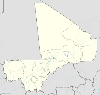
Kati is een bestuurlijke eenheid die deel uitmaakt van de regio Koulikoro in het westen van Mali. In de cercle woonden in 2009 948.128 inwoners. De hoofdstad is het gelijknamige Kati.
Kati is verder onder te verdelen in de volgende 37 communes:
- Baguinéda-Camp
- Bancoumana
- Bossofala
- Bougoula
- Daban
- Diago
- Dialakoroba
- Dialakorodji
- Diédougou
- Dio-Gare
- Dogodouman
- Dombila
- Doubabougou
- Faraba
- Kalabancoro
- Kalifabougou
- Kambila
- Kati
- Kourouba
- Mandé
- Moribabougou
- Mountougoula
- N'Gabacoro
- N'Gouraba
- N'Tjiba
- Niagadina
- Nioumamakana
- Ouélessébougou
- Safo
- Sanankoro Djitoumou
- Sanankoroba
- Sangarébougou
- Siby
- Sobra
- Tiakadougou-Dialakoro
- Tiélé
- Yélékébougou
Bronnen, noten en/of referenties
Geplaatst op:
07-01-2026
07-01-2026
Dit is een beginnetje over landen & volken. U wordt uitgenodigd om op bewerken te klikken om uw kennis aan dit artikel toe te voegen.